
Related Stories
Interactions Stories
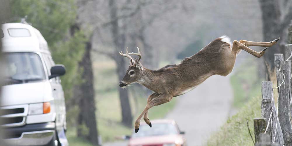
Understanding Deer's Flight Response to Avoid Vehicle Collision
In the U.S., deer/vehicle collisions cause 1.5 million motor vehicle accidents each year, resulting in 200 fatalities and over a billion dollars in property damage. That's why an FWRC scientist, with lead collaborators from participating agencies, sought to better understand how deer respond to approaching vehicles before a collision occurs. Dr. Ray Iglay, assistant professor in the Department of Wildlife, Fisheries and Aquaculture and FWRC researcher, was part of a team that evaluated deer responses to approaching vehicles. The aim of the team was ultimately to decide how the deer responded to different threats, whether they would go across the road or away from the road. The team conducted an opportunistic experiment protocol, recording observations of deer during a six-month period on two lane roads with maximum speeds of 40 miles per hour.
The researchers studied flight initiation distance (FID) or the distance from an approaching predator at which the prey flees. The team recorded 328 vehicle approaches toward groups of an average of two deer. While the team found that proximity to the road influenced FID, deer didn't demonstrate spatial or temporal safety thresholds and FID wasn't impacted by either oncoming vehicle speed or environmental conditions. The team also found that road crossing was influenced by group size and proximity to the road. Collaborators include Dr. Morgan Pfeiffer, Dr. Bradley Blackwell, and Mr. Thomas Seamans, U.S. Department of Agriculture, Animal and Plant Health Inspection Service (APHIS); Dr. Travis Devault, Savannah River Ecology Laboratory, University of Georgia; Wildlife Services, National Wildlife Research Center, and the Ohio Field Station.
This research is funded by FWRC and U.S.D.A. Wildlife Services National Wildlife Research Center.
2022
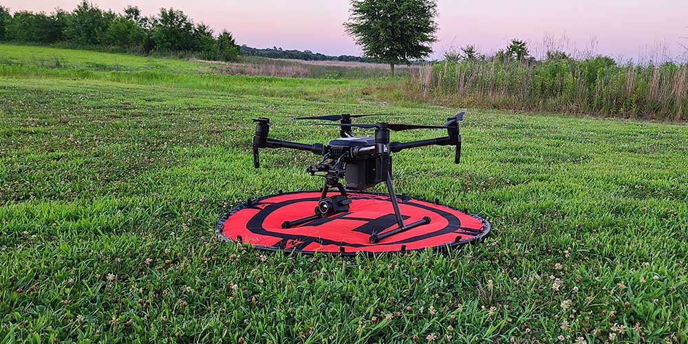
FWRC Scientists Look to Drones to Identify Potential Flight Disruptions
Wildlife residing near airports can pose threats to aircraft and themselves. Dr. Ray Iglay, principal investigator and assistant professor of wildlife ecology, and his team of FWRC scientists are using small Unmanned Aircraft Systems (sUAS), commonly known as drones, to do the wildlife surveillance work at airports traditionally done by biologists. Iglay said that getting accurate counts of wildlife is difficult because they can be hidden or camouflaged. Iglay and his team worked on testing the drones at local airports and on designing software that would detect the animals, identifying both their location within the landscape and their species. This effort is part of a larger research collaboration among MSU, the Ohio Field Station of USDA/APHIS Wildlife Services National Wildlife Research Center, and the Federal Aviation Administration, or FAA.
Iglay said that the project aimed to provide a system to the FAA that will allow them to monitor wildlife using sUAS and inform mitigation efforts in aircraft-wildlife incidents.
2021
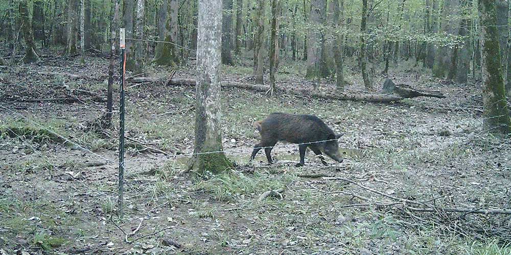
FWRC Researchers Seek to Remove Pigs from Refuge Systems
Wild pigs are an invasive species and a land management problem in at least 75 wildlife refuges nationwide. The U.S. Fish and Wildlife Service and FWRC funded a study of wild pigs in the Noxubee National Wildlife Refuge (NWR). Dr. Ray Iglay, assistant professor in the wildlife, fisheries and aquaculture department, said that the project will give him and his team an idea of the number of pigs and their activities on the land at the refuge. Iglay hopes that the project's population control practices will be replicated on other lands in the National Wildlife Refuge system, where pigs threaten vulnerable species and ecosystems. Doctoral student Tyler Evans collared ten sows with GPS devices equipped with features that track the speed and location of the pigs moving around the landscape.
The team is also building enclosures across NWR to study how flora respond to the pigs' removal. They have further plans to analyze the stomach contents of pigs from Mississippi and Missouri to better understand the impacts of the pigs on their surrounding ecosystems.